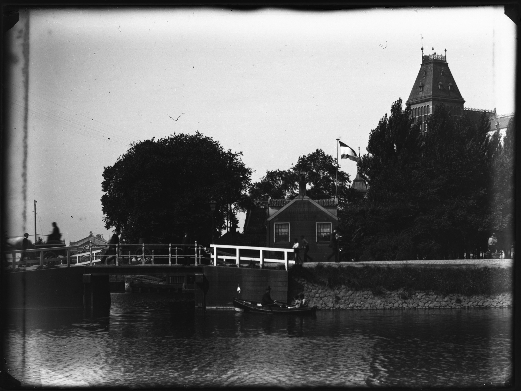
1893

De sluis van Nieuwendam vormt een verbinding tussen het IJ en de polders achter de dijk, en is al eeuwen het centrum van het dorp. Hier legden de schepen van en naar Amsterdam aan en troffen dorpelingen en passanten elkaar in de herberg, ook nu nog.

Locatie

  • 路 Nieuwendam (4 foto's in de app)

    Nieuwendam is een dorp aan de voormalige Waterlandse Zeedijk, ten noorden van Amsterdam. Het werd in 1921 bij de stad gevoegd.

Trefwoorden

  • 路 handkar (45 foto's in de app)

    In de tijd van Olie was de handkar h茅t transportmiddel in de stad. Een straatfoto zonder handkar is bijna uitzonderlijk.

  • 路 sluis (4 foto's in de app)

Veel meer foto's vind je in de app:

App Store-knop   Play Store-knop

Lees meer over de Jacob Olie-app.

1893

The locks in Nieuwendam connect the IJ and the polders north of the dike. The location is the centre of the village and has been so for many ages. Ships to and from Amsterdam moore here, and villagers and passers-by meet in the adjacent inn.

Location

  • 路 Nieuwendam (4 photos in the app)

    Nieuwendam is a village located along the northern dike of the IJ. It was annexed by the city in 1921.

Tags

  • 路 handcart (45 photos in the app)

    In Jacob Olie's days the handcart was the most popular vehicle for the transport of goods through town. A 19th century street photo without a handcart is quite rare.

  • 路 lock (4 photos in the app)

You'll find many more photos in the app:

App Store button   Play Store button

Read more about the Jacob Olie app.